
Topographic Surveys New Zealand
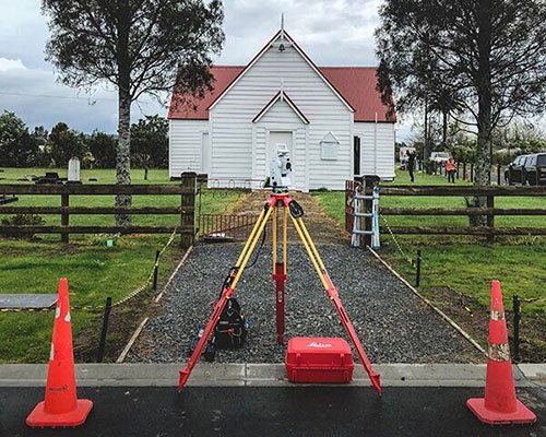
Traditionally referred to as a site survey, our topographic surveys capture the spatial features and contours of a property. Our specialized topographic surveyors capture all features required for development. Over the past 25 years, Survey Worx has completed 1000’s of topographic surveys throughout New Zealand. We have the capability to complete extra-large site surveys using a mixture of UAV, GPS and total station instruments.
The topographic drawing forms the foundation step for a subdivision or an architectural design, supplied in both PDF and digital DWG format. The plan is also used to certify height in relation to boundary (HIRB) calculations. We capture all the right information, first time and produce a top-quality drawing in both 3D DWG and PDF format. Our vast range of architect clients can contest to our leading service.
Our renown topographic drawings include:
Terrain and contours
Road and paved areas
Building footprint and levels, fence and existing utilities
Tree and vegetation, including driplines
Vegetation and driplines
Legal boundaries